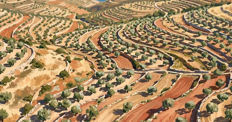
Cadastre errors and forest maps leave Apokoronas property owners in limbo
Property owners across Apokoronas are facing a double bind: the national cadastre — Greece's first comprehensive land registry — has been found to contain significant errors affecting local plots, while a separate dispute over forest maps has left thousands of residents uncertain about whether they legally own the land their families have farmed for generations.
The municipal council is being asked to pass a formal resolution pressing the central government, the Hellenic Cadastre, and MPs from the Chania regional unit to act immediately on both fronts.
Errors in the cadastre and a platform that went down
Since the cadastre data for the area was published, the municipality says numerous mistakes have come to light — incorrect ownership records, missing plots, and inaccurate boundary data. Greek law gives property owners a window to file objections and request corrections, but the municipality argues that the available time is simply not enough for residents to identify problems and navigate the process.
The situation was made worse by a temporary outage of the cadastre's online submission platform. During that period, residents who wanted to file corrections had no way to do so, effectively losing days from an already tight deadline.
The forest map dispute
Running alongside the cadastre issue is a longer-standing problem with the forest maps. Large tracts of privately used land in Apokoronas appear on these maps as state-owned forest, a classification that creates serious legal uncertainty for the owners. People cannot freely sell, develop, or even formally transfer land that is listed as state forest, regardless of how long their family has held it.
The Greek government had previously committed to resolving this through legislation, but according to the municipality no law has yet been passed. The result, the municipality argues, is that thousands of residents remain in a legal grey zone through no fault of their own.
What the municipality is asking for
- Deadline extension: An immediate extension of the period during which residents can submit objections and corrections to the cadastre
- Legislation: Urgent passage of a law resolving the disputes created by the forest maps
- Government intervention: Direct action by the central government, the Hellenic Cadastre authority, and Chania MPs to protect residents' property rights
What should affected residents do?
If you own land in Apokoronas and suspect your cadastre entry contains errors, or if your property appears as state forest on the forest maps, check the current deadlines with the local cadastre office. The municipality is pushing for an extension, but no extension has been officially granted yet. Acting before the current deadline — and keeping records of any attempts to file corrections — remains important.
The final decisions on both issues rest with the central government in Athens, not with the local council.